Doukobor Waterline

Difficulty Level: Intermediate
Distance: 7.5km one-way (from Brilliant Substation)
Elevation Gain: 100m
Dog Friendly: Yes
Bike Friendly: No
Facilities: None
Season: Potentially year-round (be aware of extremely hazardous conditions that may arise in winter due to melt-freeze cycles)
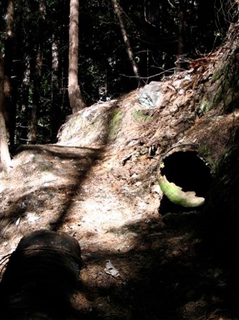
A walk through history following the Doukhobor Waterline which was used to irrigate the orchards in Brilliant. Please protect the remains of the waterline; it is a historic treasure.
Watch out for collapsed trail where it crosses the waterline. Proper footwear is a must.
Doukhobor Waterline Access
Access from the Brilliant Substation Parking Lot:
•Leave Castlegar heading towards Nelson on Hwy 3A
•Before the Brilliant bridge, turn right on Ootischenia Road and head back up the hill
•Follow signs to the golf course: turn left on Corrigan Road turning into Columbia Road
•Turn left on Aaron Road
•Turn right on gravel road with gate before the golf course (note gate closure times) and follow for 4km
•Keep left at 2km fork in road
•Turn left into parking lot before the Substation
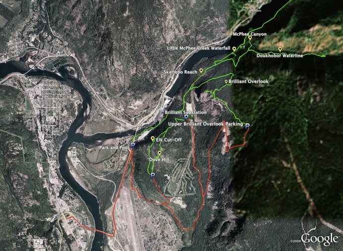
•Follow the Skattebo Reach Trail on foot for 2.5 km to a marked and flagged junction on the right
Access from Glade:
•Head North on Hwy 3A towards Nelson
•Turn right after Lumber yard at Glade Ferry crossing sign
•Cross the Kootenay River on the Glade ferry
•Take the first right on Glade Road
•When this road turns to gravel, continue on for 2.7km
•Park at erratic (large out of place rock on right)
•Follow Skattebo Reach trail for 3.3km, take a left on McPhee Canyon trail after bridge crossing
•Follow this trail, turn left onto the Waterline trail at junction
•(See Skattebo Reach Map)
Hikers Access from Park and Pool:
•Follow signs for Skattebo Reach Trail from park and pool
•Follow Skattebo Reach for approx. 3km passing the Brilliant Substation
•Trailhead is on the right
